
Personalized Survey Services
Commerical Survey
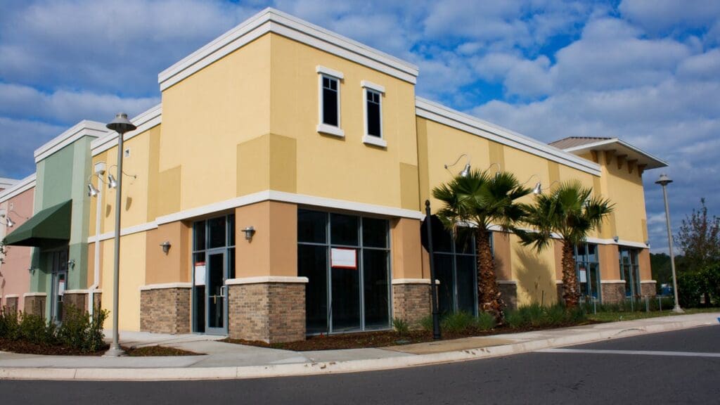
Welcome to Central Florida Land Surveying Company: Your Precision Commercial Survey Partner
Central Florida Land Surveying Company is your trusted partner for top-tier commercial surveying solutions in the vibrant state of Florida. Whether you’re a property investor or business owner, our expert team is dedicated to providing tailored surveying services to meet the distinct requirements of the commercial sector.
Our Commercial Surveying Services:
-
ALTA/NSPS Land Title Surveys: Ensure a smooth and informed commercial real estate transaction with our ALTA/NSPS Land Title Surveys. Our detailed reports provide the necessary insights into property boundaries, easements, and other critical information.
-
Topographic Surveys: For commercial development projects, our topographic surveys deliver in-depth information about the natural and man-made features and elevations of your land. Architects, engineers, and planners can rely on our accurate data to make informed decisions.
-
Elevation Certificates: Safeguard your commercial property and comply with FEMA requirements by obtaining an elevation certificate. We assess and document elevation information, assisting with flood insurance and regulatory compliance.
Why Choose Central Florida Land Surveying?
-
Local Expertise: With over 26 years of experience, benefit from our in-depth knowledge of the local terrain, regulations, and environmental considerations specific to Central Florida.
-
Cutting-Edge Technology: We invest in state-of-the-art surveying technology, including GPS and robotic total stations, to provide you with the highest level of accuracy and efficiency.
-
Timely and Efficient: Our team understands the importance of timelines in commercial projects. We work diligently to deliver survey results promptly, keeping your project on schedule.
-
Customized Solutions: We tailor our surveying services to address the unique requirements of each commercial project, ensuring you receive the information essential for your success.
-
Client-Centric Approach: Communication is key. We maintain open lines of communication throughout the surveying process, keeping you informed and involved at every step.
For all your commercial surveying needs in Florida, trust Central Florida Land Surveying Company to be your partner in precision. Contact us today to discuss your project and schedule a consultation.
These questions are asked frequently about land surveying in Central Florida
Frequently Asked Questions
What is a residential property boundary survey, and why do I need one?
A property boundary survey is a detailed examination of the property lines, corners, and any encroachments. It is crucial for homeowners to understand their property boundaries, resolve potential disputes, and make informed decisions about their land.
How long does a residential survey typically take in Florida?
The duration of a residential survey can vary based on the size and complexity of the property. On average, a standard residential survey in Florida may take a few days to complete, from fieldwork to the delivery of the final survey report.
What information is included in a residential property survey report?
A residential property survey report typically includes a detailed map of the property, boundary lines, any existing structures, easements, and other relevant information. It serves as an official document providing a snapshot of the property's current condition.
When should I consider getting an elevation certificate for my residential property in Florida?
Homeowners in Florida should consider obtaining an elevation certificate when purchasing flood insurance or when they need to comply with local building regulations. It provides information about the property's elevation in relation to the Base Flood Elevation (BFE).
Can a residential survey identify potential property line disputes with neighbors?
Yes, a residential survey can identify and help resolve property line disputes. By precisely determining the boundaries of your property, a survey can prevent conflicts with neighbors and provide a clear understanding of where your property ends and theirs begins.
What is the difference between a boundary survey and a topographic survey?
While a boundary survey focuses on property lines and corners, a topographic survey captures detailed information about the natural and man-made features of the land, such as elevation, trees, and structures. Topographic surveys are often used for construction or landscaping projects.
Can I use an existing survey when buying a new house?
While an existing survey can provide valuable information, it's essential to ensure that it meets current standards and accurately represents the current state of the property. In some cases, a new survey may be recommended to address any changes or discrepancies.
How much does a residential property survey cost in Florida?
The cost of a residential property survey in Florida can vary depending on factors like property size, location, and the specific services needed. It's advisable to obtain quotes from licensed surveyors to get a more accurate estimate for your particular situation.
What is an ALTA/NSPS Land Title Survey, and when is it required for residential properties?
An ALTA/NSPS Land Title Survey is a comprehensive survey that meets specific standards set by the American Land Title Association (ALTA) and the National Society of Professional Surveyors (NSPS). It is often required for real estate transactions to provide detailed information about the property.
How often should I update my residential property survey in Florida?
While there is no strict timeline for updating a residential property survey, it is advisable to consider a new survey when significant changes occur on the property, such as construction, additions, or if property disputes arise. Regular updates help ensure that your survey reflects the current state of your property.